Send a request
Fill out the form and our specialist will contact you shortly
By clicking the 'Send' button, you agree to the processing of your personal data.
We use cookies to enhance your experience. By continuing to use our site, you agree to our use of cookies. Learn more in our Privacy Policy
Accept
Advanced
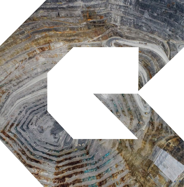
Geotechnical Monitoring Technologies
Mining Safety and Efficiency
Geotechnical radar is an advanced technology that allows improving the quality of mining facility management, increasing productivity, ensuring safety, and efficiently managing risks and costs
We offer innovative and affordable integration solutions that translate complex geotechnical data into clear operative information
Talk to an expert
Fill out the form and our specialist will contact you shortly
By clicking the 'Send' button, you agree to the processing of your personal data.

Why Us?
GTX is the leader in geotechnical monitoring. We operate all types of equipment, permanently test new instruments, and can offer optimum solutions for your specific tasks.
Services
Geotechnical Radar Monitoring
GTX provides the 24/7 geotechnical radar monitoring and expert support services. Our geotechnical engineers and georadar operators provide efficient risk management and ensure slope stability.
Our complex services include slow displacement analysis, alarm announcement and deformation trend response, and regular reporting to empower well-informed decisions that uphold work safety and boost operational productivity.
Our complex services include slow displacement analysis, alarm announcement and deformation trend response, and regular reporting to empower well-informed decisions that uphold work safety and boost operational productivity.
Data Analysis and Reporting
GTX offers complex solutions to analyze and visualize georadar data. By using advanced methods of signal handling and specialized software, we translate raw data into clear reports. Out team ensures data processing, 2D and 3D visualization, detailed reporting and individual advice.
Our objective is to provide instruments and knowledge for you to benefit most from the georadar technologies.
Our objective is to provide instruments and knowledge for you to benefit most from the georadar technologies.
Consultancy and Training
GTX conducts training and consulting in geotechnical radar monitoring. Our experienced staff is ready to guide users at any level of qualification and knowledge.
You can rely on GTX to set up a geotechnical monitoring department for your company from scratch, develop a monitoring program for a particular facility, optimize data interpretation, configure alarm announcements, and threshold values.
You can rely on GTX to set up a geotechnical monitoring department for your company from scratch, develop a monitoring program for a particular facility, optimize data interpretation, configure alarm announcements, and threshold values.
Maintenance and Technical Support
GTX offers a full package of maintenance and technical support services to guarantee high productivity and reliability. GTX’s certified engineers and technical managers regularly visit client facilities to do equipment maintenance and software updates. We provide technical support remotely at all project stages, and make sure that radars are always ready to work.
Solutions
GNSS, VWP, SAA, and Other Sensors
Geotechnical Monitoring and Geomechanical Modeling Software

The geotechnical radar is designed to monitor deformations and stability of mine workings. Using the radar increases mining efficiency and improves safety.
Geotechnical Radars

Laser scanner presents surrounding space as a mass of points with coordinates, and automatically creates its accurate digital model.
Laser Scanning

A robotic total station can operate automatically and transfer data to external storage media.
Robotic Total Station

Satellite InSAR is used to find, measure, monitor, and forecast deformations of large territories. It is ideally suited for geotechnical monitoring of entire fields.
Satellite InSAR Monitoring
ADVANTAGES

Accuracy
The georadar technology exceeds the traditional methods of geotechnical monitoring: the human error is down to naught, while the amount of data collected for quick analysis is unlimited.

Product Range
Broad selection of geotechnical equipment: advanced GPS/GNSS stations, robotic total stations, inclinometers, piezometers, seismometers, georadars, specialized strain sensors, and thermal imaging systems.

Competitive Pricing
We offer equipment and services below the average market price. We invest in reliable instruments and technologies, and the solutions we are able to propose are affordable for businesses of different scale.

Geotechnical Expertise
Our experience works to your benefit. We offer help in selecting and configuring equipment, ensuring efficient operations and accurate measurements, and interpreting data.

Full Support Services
Our support services include auditing, consulting, monitoring, data analysis and interpretation, maintenance, warranty, technical support and personnel training.
CONTACTS
ADDRESS
050061, Republic of Kazakhstan, Almaty, st. Otrarskaya, 58, 2nd floor
Phone
E-mail
